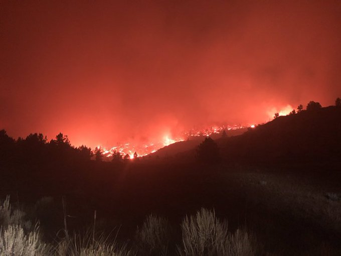
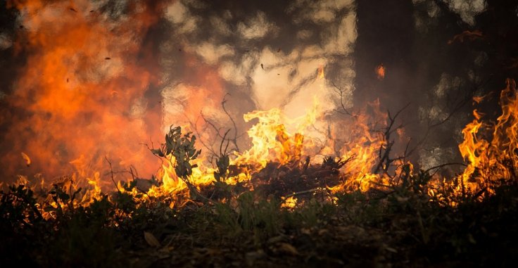
Nearly 70,000 residents in Orange County, California have received mandatory evacuation orders, while firefighters continue to battle two new wildfires.
The rapidly spreading wildfires fueled by high winds and low humidity, Silverado Fire and Blue Ridge Fire, grew to nearly 30,000 acres in less than 48 hours. The fast-moving fires increased quickly since Monday, October 26 damaging almost eight residences and threatening thousands of others.
The wildfires are the recent addition to the historic season in South California. As per the National Interagency Fire Center, across the US, over 8.5 million acres have burned so far in 2020 and some states like Colorado, Idaho, Oregon, New Mexico, and Washington have been badly hit by this year's wildfire.

Threatening Situation
Cal Fire. Said that till Tuesday night, October 27 the Blue Ridge Fire in Orange County's Yorba Linda had burnt14,334 acres, causing damages to seven structures and the blaze is threatening over 20,000 other structures.
High Winds between 30 to 50 mph pushed the wildfires into Chino Hills on Tuesday. But the winds are forecast to weaken to between 20 and 25 mph while the firefighters are hoping to utilize the time to build containment lines around the blaze.
As per the official report, the Silverado Fire has destroyed 13,354 acres near Irvine since early Monday morning. The cause of the fire is still not known. However, as reported only five percent of the fire has been contained. Unlike the other wildfire, this one has not yet caused any major damage to the structures.
Orange County Fire Authority PIO Captain Jason Fairchild said that some evacuation order has been lifted from a few parts of the Irvine, but still, almost 70,000 people are under the order. Cal Fire said that mandatory evacuation orders remain in places like Chino Hills, Yorba Linda, the Sleepy Hollow area of Brea, Olinda Ranch, and Brea Hills. However, Governor of California Gavin Newsom has confirmed that the state has secured federal funds to support response to the fast-spreading wildfires.

Post-Wildfire Hazards
While the worst-ever fire year is not yet over for the US, concerns are already mounting regarding the next hazard these regions will face: dangerous and destructive debris flows. Debris flows are fast-moving slurries of soil, water, rock, and vegetation that are especially hazardous because they usually occur without any warning.
Some debris flows are powerful enough to cart off everything in their paths, including trees, boulders, vehicles, and also homes. Two years ago in California's Montecito, 23 people were killed and more than 400 homes damaged by a series of debris flows spawned by intense rain falling on hills scorched by what at the time had been the largest fire in the state's history.
Researchers at the U.S. Geological Survey (USGS) studied slope failure at two sites in Southern California's San Gabriel Mountains. "In the first year after each fire, we observed debris flows generated by rainfall runoff. But as we continued monitoring, we were surprised to see that a storm with a higher rainfall intensity than the first year's storms, resulted in more than 280 shallow landslides, rather than debris flows, in the third year," said Francis Rengers, a USGS research geologist who led the study.
Based on what they have found during the research, the experts have developed a new conceptual model of post-wildfire slope failure that has three distinct stages—no-recovery phase, initial recovery stage, and fully recovered phase. "Our model suggests that debris flows will be the primary concern during the next one to two years, at least in the burn scars in Southern California, and after that, the concern will shift toward shallow landslide hazards," said Rengers.
"I hope our work offers land managers useful expectations regarding how these processes are likely to evolve and helps them prioritize post-wildfire mitigation and planning," he added.


