The world as we know it today is a result of millions of years of tectonic shifts and changes. How the continents appear now, is much different from what they did scores of years ago, and are undergoing continuous transformation. Scientists have now found that the African continent is gradually breaking into numerous tectonic blocks, and the massive island of Madagascar is also disintegrating into smaller islands.
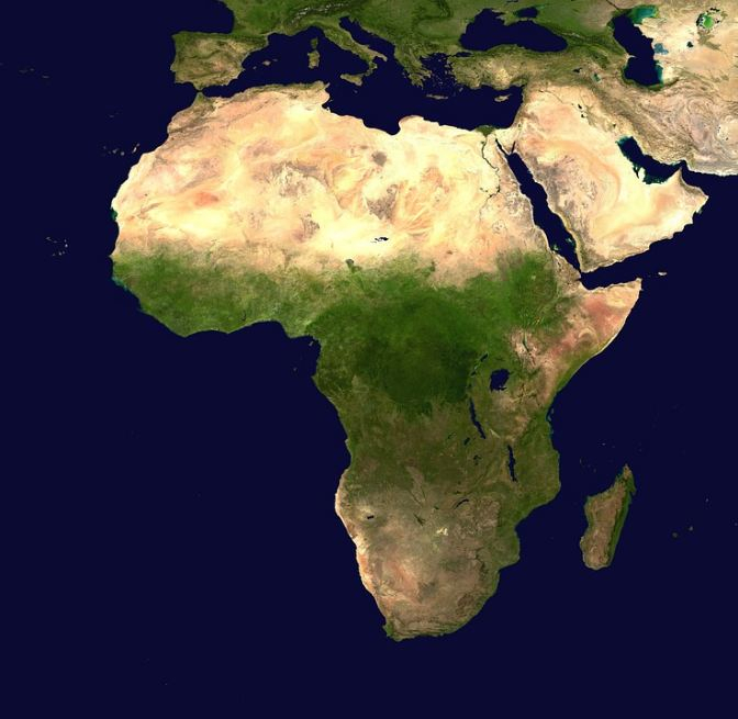
According to an international team of scientists, the separation is occurring across the East African Rift System and is extending into the island of Madagascar, which is off the coast of Southeast Africa. The authors state that the rupture is a continuation of the dissolution of the supercontinent Pangea that began 200 million years ago. Nevertheless, nothing extensive is expected to happen in our time.

"The rate of present-day break-up is millimeters per year, so it will be millions of years before new oceans start to form. The rate of extension is fastest in the north, so we'll see new oceans forming there first," said D. Sarah Stamps, lead author of the study, in a statement.
Changing Continental Faces
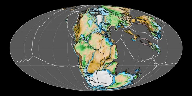
Pangea was a massive supercontinent that encompassed nearly all the continents. The singular landmass was surrounded by Panthalassa, a global ocean. It is believed that the mega-continent assembled itself in entirety by the Early Permian Epoch—299 million to 273 million years ago. The breaking up of Pangea is said to have begun during the Early Jurassic Epoch, which was around 201 million to 174 million years ago. This gradual disintegration of Pangea led to the formation of the Atlantic and Indian Oceans, and of course, the modern continents.

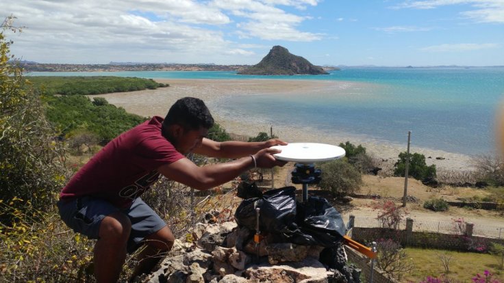
As the face of the Earths, appearance is a changing one, continents including Africa are bound to alter. The study employed new GPS datasets of highly accurate surface motions in Madagascar, Eastern Africa, and other islands dotting the Indian Ocean, along with additional geological data. The authors tested numerous configurations of the tectonic blocks of the region with the aid of computer models. Tahiry Rajaonarison, a doctoral student in Geosciences, assisted Stamps with the data collection.
Redrawing Boundaries
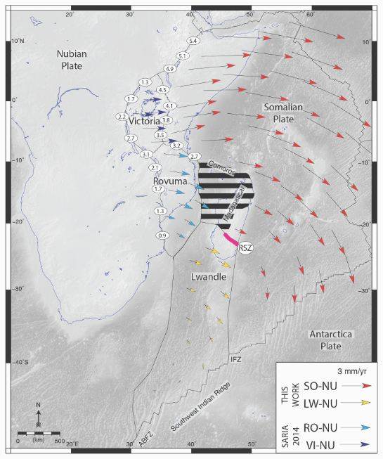
Through a series of extensive statistical tests, the team outlined new boundaries for the Somalian plate—a minor tectonic plate straddling the equator—and the Lwandle microplate—one of three tectonic blocks that form the African plate. The design of this approach enabled the authors in testing whether the surface motion data was consistent with the motion of rigid plates.

"Accurately defining plate boundaries and assessing if continents diverge along narrowly deforming zones or through wide zones of diffuse deformation is crucial to unraveling the nature of continental break-up. In this work, we have redefined how the world's largest continental rift is extending using a new GPS velocity solution," said Stamps.
A Gradual Disintegration
The data revealed that the separation process was more distributed and complicated than previously believed. "Most previous studies suggested that the extension is localized in narrow zones around microplates that move independent of surrounding larger tectonic plates," highlighted Stamps.

In one specific region, the team ascertained that the augmentation spanned across a large region. The distributed extension was around about 600 kilometers (372 miles) wide and comprised of Eastern Africa and the whole of Madagascar. Specifically, the island is rupturing actively, and its southern part is breaking away with the Lwandle Plate. The central part of Madagascar is said to moving with the Somalian plate. However, the remainder of the island is breaking apart flexibly, pointed out Stamps.
Another interesting aspect of the study is the discovery of a wide deformation zone—a region that is undergoing contraction and elongation simultaneously. This can aid scientists in acquiring new insights into the recent and ongoing volcanic and seismic activity occurring in the Comoros Islands, a group of volcanic islands situated in the Indian Ocean between Madagascar and East Africa.


