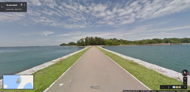
Google Singapore on Thursday has announced that they will be partnering Singapore-based running platform JustRunLah! to visually map the running trails, so that users can easily find new nature trails to jog.
Members of the aforementioned running group will record 30 running and walking trails across the island-state using Google Street View Trekker, which has previously been used to map various locations, such as the Grand Canyon.
The Street View Trekker will be equipped with 15 cameras with the capability of shooting 360-degree images. The cameras will be mounted over a mobile computer.
JustRunLah! expects the partnership would be fruitful and mapping the trails on Street View would help runners to better visualize and plan their trail routes.
"Singapore is a top Asian destination for tourists worldwide and having the newly added Special Collections will give tourists a first glance at their trip planning," said Cynthia Wei, 34, Street View programme manager.
The tech giant has also announced that its Special Collection program, which can be found in both the Street View mobile app and the Web version, has been updated with 30 indoor and outdoor attractions of Singapore, which include Coney Island Park and the National Gallery Singapore. The segment highlights interesting sites around the world.


