As of Sept. 5 at 11 a.m. EDT (1500 UTC), Tropical Storm Faxai, earlier termed 14W, was located near 20.8 degrees north latitude and 154.0 degrees east longitude, which is about 742 nautical miles east-southeast of Iwo To island, Japan and is seen moving in the north-northwest direction with maximum sustained winds of 40 knots (46 mph/74 kph).
The Joint Typhoon Warning Center (JTWC) expects Faxai will move west-northwest across the Northwestern Pacific Ocean and turn north after three days. Faxai is expected to make landfall near Tokyo at 80 knots on Sunday, Sept. 8.
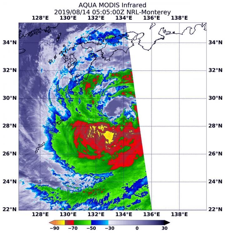
Tropical Storm 14W has been active over the Northwestern Pacific Ocean for some time and has now been renamed Faxai, with NASA's Aqua satellite passing over the storm took the image and temperature of Faxai's clouds and storms.
NASA's Terra satellite used infrared light to analyze the strength of storms in the remnants of Tropical Storm Faxai which provides temperature information, and the strongest thunderstorms that reach high into the atmosphere have the coldest cloud top temperatures.
On Sept. 5 at 8:15 a.m. EDT (1215 UTC), NASA's Moderate Imaging Spectroradiometer or MODIS instrument that flies aboard the Terra satellite found strongest thunderstorms had cloud top temperatures as cold as or colder than minus 70 degrees Fahrenheit (minus 56.6 Celsius).
The imagery showed the southwestern side was cloud free because of sinking air, which prevents it to become a thunderstorm. It is being caused by an elongated area of low pressure located to the south of the storm and a Tutt Cell to the north. A Tutt Cell is a Tropical Upper Tropospheric Trough.
Last month, Japan's Kyushu, Shikoku and southeastern portions of Honshu were hit by Krosa storm that left behind a trail of destruction, two persons dead and at least 50 people injured with heavy disruption in air traffic. More than 30 inches (800 mm) of rain and wind gusts of nearly 90 mph (144 km/h) as Krosa hit the region and moved ashore near Kure City in Hiroshima on August 14.


