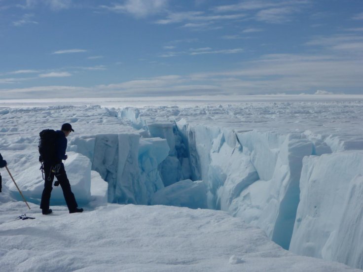
In a latest study, published in the Proceedings of the National Academy of Sciences, scientists said that Greenland ice sheet, which is the world's second-largest, is potentially becoming unstable due to rapid development of fractures. The cracks are developing because of the faster ice flow and more melt-water on the surface of the ice.
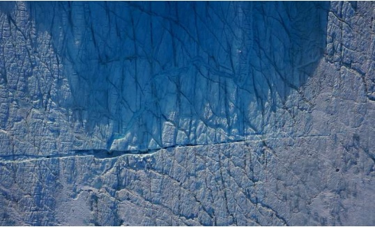
The researchers led by the University of Cambridge used custom-built drones to observe how the fractures are forming under the melt-water lakes on the Greenland ice sheet, which is typically about a kilometer thick, and how the ice sheet responds to that. They found that 5 billion litres of water drained to the bed of the ice sheet in under five hours, enough to lift up the kilometre-thick ice by over half a metre.

Transfer of surface water
These cracks cause catastrophic lake drainages leading to the transfer of huge quantities of surface water to the environment beneath the ice. Every year in summer, thousands of lakes are formed as some of the water beneath melts due to warm weather.
Since, many of these lakes take just a few hours to drain, creating vast openings, better known as moulins, at the base of the ice, the melt-water from the surface of the ice continues to flow down for the rest of the summer season, eventually creating some of the largest waterfalls in the world.
How did the drones help?
The customised drones captured several images of the ice sheet that showed a dark blue oval "shrink into a smaller, shallower and lighter blue circle." Tom Chudley, co-first author of the paper said, "The things that the drones can do for us is to allow us to take these kinds of high quality measurements in regions that aren't safe to access."

The scientists used on-board GPS to geo-locate and stitch thousands of images together. This process helped them to create a detailed 3D reconstruction of the surface of the ice sheet. "It's a rare thing to actually observe these fast-draining lakes—we were lucky to be in the right place at the right time," said Chudley, who is also the team's drone pilot.
At present, the difference between the ice sheet's snow accumulation and loss of ice is one billion tonnes of ice every day -- the equivalent of 2,000 Olympic-sized swimming pools -- eventually making the Greenland ice sheet the single largest contributor to global sea-level rise.


