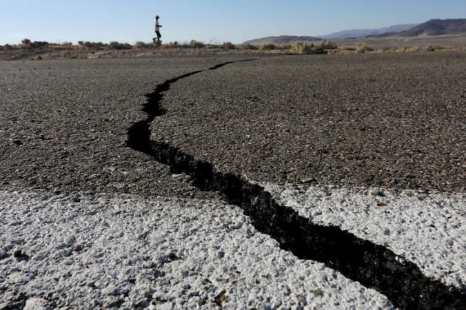
An earthquake of 6.5 magnitude was reported near Mexico's Oaxaca state late on Saturday. The quake rattled 38 kilometres to the southeast of Union Hidalgo, along the Pacific coastline of Oaxaca state. According to a tweet by the Governor of Oaxaca, the security protocols were activated soon after the earthquake. There have been no reports of injuries or damages so far.
Earthquake lasted for 15-20 seconds

The earthquake lasted for around 15-20 seconds in Oaxaca and cities surrounding the region. According to the Government of Oaxaca's Twitter page, the earthquake measured at 6.5 but US Geological Survey reported that the earthquake was measured at 5.8. The Mexican seismological service initially measured the earthquake at 6.5 and later changed it to 6.
According to the USGS, the earthquake's epicentre was seen to be 6 kilometres south of the town of Santo Domingo Zanatepec in Oaxaca with the depth of the earthquake being measured at deep 97.2 kilometres.
The tectonic setting in Oaxaca is prone to earthquakes, with several recorded earthquakes measuring up to 7 in the Richter scale. The 1931 earthquake was one of the strongest earthquakes from the region back then. In 2018, Oaxaca recorded a 7.2 magnitude earthquake damaging buildings and affecting the people severely.
(This is a developing story)


