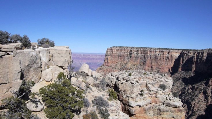
At a time when national parks in the US are threatened by a mining boom in the western US such as Yellowstone National Park and the Grand Canyon damaging ecosystems. In Bingham mine in Utah, sulphates and heavy metals have escaped and apparently polluted 72 square miles of groundwater. Coupled with cyanide usage to extract metals such as gold from rocks, it has been known to leak into nearby watercourses.
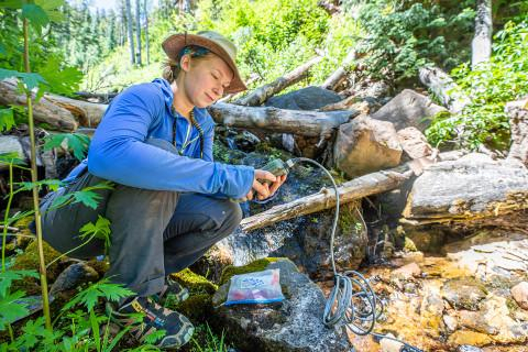
Setting aside the mining menace, NAU researcher Natalie Jones, is camping at the Colorado River that moves through at a rate of about 12,000 cubic feet per second from the Rocky Mountains to the Gulf of California, looking for an answer to zero in on the source. It's still a mystery where Roaring Springs, Grand Canyon National Park's only water source, originate.

A research technician and graduate student of NAU, Jones is working on the Grand Canyon Physical Sciences program, to identify where the water in Roaring Springs comes from, building on previous research. Her findings, published in November in Hydrogeology Journal, pinpoint the region feeding the springs and the risk of contamination in the region.
Jones is keen to create a model karst-aquifer vulnerability in the Grand Canyon to predict water behavior in the park to benefit future researchers and water managers. She is upbeat that she is moving closer to understanding how to protect this vital resource.
What is karst and why does it matter?
Did you know water can sometimes dissolve rock? Karst is a type of rocky feature that forms in dissolvable rocks and it creates pathways to carry water quickly from the land surface directly to underground aquifers.
Karst landscapes cover about 16 percent of the Earth's land surface, including the Colorado Plateau around Flagstaff and the Grand Canyon. Karst aquifers have a pipe-like flow network of caves and conduits, and directly supply up to 25 percent of the world population with water for drinking, agriculture and other needs.

Two such aquifers, the Redwall and Coconino aquifers, supply water to Roaring Springs and other Grand Canyon springs. The two aquifers are stacked on top of each other. Many vulnerability models ignore the complication of layered karst aquifer systems, resulting in less accurate modeling, explains Jones.
"Vulnerability models identify regions of high, moderate and low vulnerability on the land surface, which directly relates to how quickly and efficiently water or contaminants would sink and enter the aquifer," Jones said. "However, existing well-regarded vulnerability modeling methods for karst aquifers did not produce realistic results for our region."
How does the model work?
Jones worked on modifying the concentration-overburden-precipitation method (COP) with two new models -- to account for recharge patterns in the Grand Canyon region, which has many karst features and a deep, complex aquifer system.
Jones and the research team automated a process to identify sinkholes from high-resolution topography data, converted those data into sinkhole densities, and combined the data with a map of fault locations underneath. Jones has incorporated all these features into the existing model to propose the final vulnerability model.
New vulnerability model
Jones also found similar patterns in vulnerability between the two karst aquifers in the Grand Canyon region, which are separated by more than 600 meters of impermeable rock. She found that about a fifth of the Kaibab Plateau has high vulnerability to contamination of the Redwall-Muav aquifer, which is about 1,000 meters deep, and almost half of the plateau surface (45.6 percent) has high to very high vulnerability for the Coconino aquifer, which is closer to the surface.
"These springs and streams support diverse ecosystems, and many hikers and wildlife rely on them for survival," Jones said. "This research helps narrow down where these water sources are coming from and could help us better protect them in the future." Since the Roaring Springs is the only source of water in the park, its quality has significant value.


