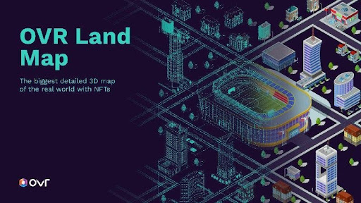
The largest and most accurate 3D map of the real world brings new experiences
Italian company OVR has announced OVR Land Map: the revolutionary new technology to create a detailed 3D map of the real world, on which to enjoy new geolocated metaverse experiences.
OVR's decentralized, Italian-based platform has become famous for its tokenized OVRLands using NFTs with Augmented Reality (AR) and Virtual Reality (VR).
To implement OVR Land Map, the company is also launching OVR Land Scan, which invites its community to collect OVR tokens in exchange for smartphone scans of specific locations.
Geolocation metaverse with NFT and AR beyond the limits of accuracy
Unique in its efforts, OVR is creating a true geolocation metaverse, combining technologies such as Non-Fungible Tokens, AR, and VR.
Now, thanks to the OVR Land Map, OVRLand's geolocations will exceed the limits of current GPS accuracy, with new, more detailed solutions that take localization down to ì0 cm.
Davide Cuttini, CEO of OVR described the idea of the platform's AR and NFT metaverse as follows:
"When I imagine a world where reality and virtuality merge, where thanks to small contact lenses I cannot distinguish real from unreal projections, crowdsourcing 3D scanning of the world is the fundamental building block to create an incredible new infrastructure. Without full understanding of the real world through AI models available from common devices, no AR platform will see real adoption. I think OVR is in the right direction to democratize access to this incredible new way of experiencing our lives!".
Metaverse democratized thanks to OVR Land Scan
In order to move forward with OVR Land Map, the geolocation metaverse platform offers a new Map-to-Earn opportunity: the OVR Land Scan.
Basically, any user in the OVR community can participate in the collection of OVR tokens and contribute to the creation of a detailed 3D world map, simply by scanning images of selected locations with their smartphone.
In this regard, OVR and the owners of OVRLand have generated a map based on the "Wisdom of the Crowds", for which 6000 investors will vote with their assets on the most important locations in the world.
A "treasure hunt" that does not involve expensive tools such as lidar or other HW, but rather OVR Land Map will work with the participants' use of the common smartphone.
Thanks to OVR Land Scan, OVR makes its metaverse democratized with an incentive system for participants that is subsidized directly by the company, by OVRLand owners who want to integrate the valuable OVR Land Map technology with their NFTs, and by institutions that take advantage of the OVR platform to make certain territories popular.
OVR Land Map and new experiences
With OVR Land Map, the new high precision mapping system, together with the OVR Land Scan feature, OVR is enabling unique metaverse experiences.
In fact, while it was previously unthinkable, with the new technologies it will be possible to precisely superimpose AR on existing buildings, geolocate indoor and multi-floor assets or locate experiences on an outdoor statue or a specific wall.
Not only that, OVR can augment the already 300,000 square kilometers of physical territory mapped on existing OVRLand, served by a larger community of "treasure hunters" given the ease that scanning via smartphone offers.
All these facets contribute to the realization of OVR's decentralized, geolocalized, and democratized metaverse.


