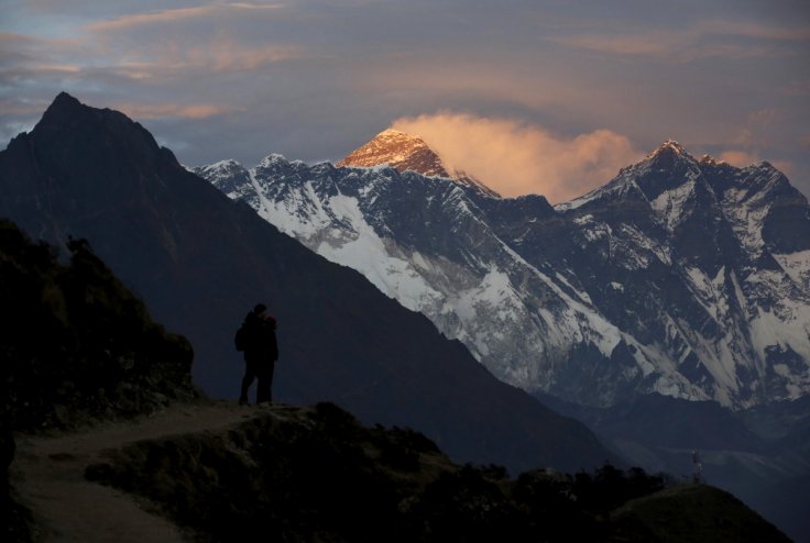
Mount Everest, which is the highest mountain in the world above sea level was measured by a 35-year-old surveyor and mountaineer from Nepal who climbed the peak on May 22, 2019. Khimlai Gautam and his team decided to ascent at around 3 am so that they could have the summit to themselves.
On the highest crest of snow of the peak, the team set up a GPS antenna that started recording the precise position from a network of the satellites. The men also placed ground-penetrating radar for measuring the depth of the snow below the crampons. Almost 15 months later, the results are anticipated, which is going to be the official height of Mount Everest. The project was spearheaded by the Survey Department of Nepal. The intention was not only to accurately measure the height but also to make a statement of national pride.
Geographers estimate that the mountain is growing half centimeter a year because of the plate tectonic collision. But after the devastating earthquake in 2015, geographers believe that there is a possibility the height has changed. A powerful earthquake in 1934 is believed to have lowered Mount Everest by almost two feet. Moreover, there is a question of whether to include the snow and ice or just take a measurement of the highest point of the rock.
How to Measure Height of Mountains

Measuring the tallest mountain is not only about finding the top but also getting to know where the bottom is. The surface of the Earth is not smooth and it is also not a perfect sphere. Now, while measuring the greatest distances from the center of the planet to the point that is farthest away, the tallest mountain will be Chimborazo, located in Ecuador. For measuring the mountains a baseline is required, which is the sea level. But, there is not only one sea level as the oceans are constantly pulled and shaped by the gravity of the planet.
Geodesists, or geographers who provide the answer about the shape of the earth, use two types of models for defining the shape, called ellipsoids and geoids. The ellipsoid models imagine the planet is curving oval, smooth, which is slightly oblong along the equatorial axis. On the other hand, the geoid models attempt to account for the effect of the planet's gravity by making a calculation regarding where the sea level is going to be if Earth's surface got covered with water.
The first survey that measured the mountain was conducted in the 1850s. They came up with a height of 29,002 feet. In 1954, again the mountain was measured and the results were 8,848 meters or 29,028 feet including the snow cap. "In survey mapping, we can't find the exact point or altitude. We're trying to find the MPV—the most probable value," Gautam said.
The team conducted both the GPS survey along with the leveling survey. They also calculated the height with the snow and ice layer. "We want to have them both and compare them so that we don't have to listen to any more questions regarding the height of Everest," Gautam said, as reported by nationalgeographic.com.
Results From China Awaited
The Survey Department of Nepal stated that the calculations are done and the new height of the mountain is known but the world needs to wait to know about the result as it is related to international politics. As Nepal shares the mountain with China, the matter of declaring the new height is a part of diplomatic considerations. During Chinese President Xi Jinping's visit to Nepal on October 12, 2019, both the countries got into an agreement to cooperate on getting the measurement of Mount Everest.
A team from China went to the summit amid the coronavirus or COVID-19 pandemic and got their measurements. In May, the team completed their expedition as the authorities of China stated that the new elevation would be ready in two to three months. But until now, there have been no updates.
Experts believe that a precise measurement of the mountain will demonstrate the technological development of the country. Ed Douglas, Everest historian said that like Nepal, China has also used the mountain as a symbol of national identity. Moreover, Nepal being a poor country has many reasons to keep its neighbor happy as China had provided around 90 percent of foreign direct investment during the last fiscal year.
According to Gautam, Nepal has been able to make a point that the country can do something using its own resources and technical manpower. It will be interesting to see when the new height of the mountain gets officially announced.


