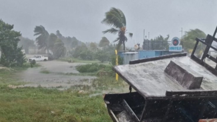
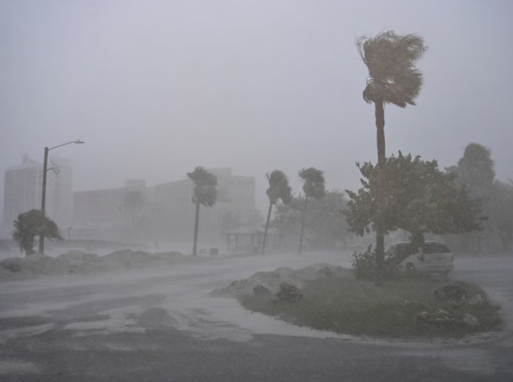
Hurricane Milton struck Florida's west coast on Wednesday night as an extremely dangerous storm, causing a "life-threatening" surge and 120 mph winds, leaving nearly 2 million people without power and many areas flooded. According to USAToday, the power outages are primarily concentrated in Sarasota and Manatee County.
Milton made landfall as a Category 3 storm near Siesta Key in Sarasota County around 8:30 p.m., with winds reaching up to 120 mph, according to the National Hurricane Center. This was much weaker than the 180 mph winds Milton produced when it reached Category 5 strength while crossing the gulf. By around 10 p.m., the superstorm had weakened to a Category 2.
Milton Wreaks Havoc

Siesta Key, a barrier island near Sarasota and known as one of the world's top 25 beaches, is home to about 5,500 residents, most of whom are retirees. The National Weather Service reported that water levels in nearby Sarasota rose by more than 8 feet, while storm surges of up to 5 feet were observed from Naples to Charlotte Harbor.
More flooding is expected in Manatee and Sarasota counties.

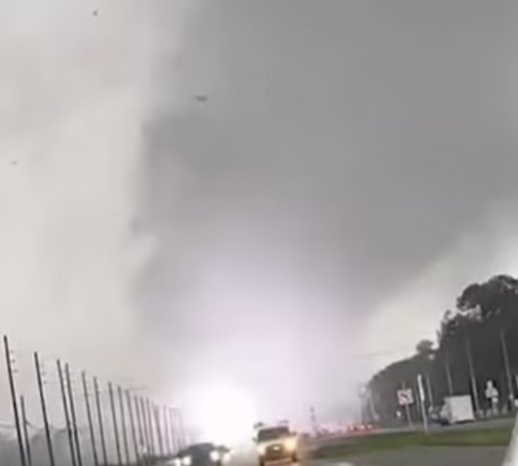
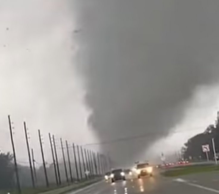
Chilling footage shared on Instagram by Abc7ny captures a tornado, spawned by Hurricane Milton, tearing through the sky in Wellington, Florida. Powerlines are seen exploding in bright flashes as the tornado ripped them apart, while cars in the video hurriedly drove away from the sudden sparks.
TECO Energy, the electricity provider for West Central Florida, has warned residents to steer clear of downed powerlines and avoid floodwaters, as they can hide dangerous powerlines underneath.
Earlier in the day, the powerful tornadoes also brought down power lines.
The National Weather Service in Miami confirmed on X that at least nine tornadoes were reported as storm systems capable of producing severe twisters moved across Florida and the southern peninsula ahead of Hurricane Milton's landfall on Wednesday.
Fox weather officials noted that the storm's center passed directly over Sarasota, rather than 15 miles north, causing slight differences in which areas faced the most severe storm surge.
On High Alert
Currently, Tampa's storm surge is below zero due to offshore winds, while Port Manatee has recorded just over a foot of surge, according to Fox.

Downtown Sarasota has seen more than half a foot of rainfall, with an additional 1 to 3 inches expected, according to weather officials.
In Brandon, 13 miles from Tampa, the area has been battered by wind gusts reaching over 80 to 100 mph, causing at least 20 transformer explosions, as confirmed by Overton.
Fortunately, the storm made landfall just south of Tampa Bay. Had it hit the bay directly, or even north of it, forecasters warned it could have led to one of the most dangerous storm surges in U.S. history.
Tampa Bay is especially prone to dangerous storm surges. Its shallow offshore waters cause waves to build as they move toward land, and the bay's shape and opening funnel the incoming water, increasing its force. Most nearby communities are at elevations below 10 feet, so a 13-foot storm surge would dangerously submerge hundreds of thousands of homes.

Many feared a direct hit to Tampa Bay could lead to a disaster comparable to Hurricane Katrina in 2005, where levee failures flooded vast areas of the city, resulting in over 1,300 deaths.
More than 3 million residents around Tampa Bay were ordered to evacuate before the storm, with Tampa Mayor Jane Castor warning, "If you choose to stay... you are going to die."
Hurricane Milton made history as it approached Florida, becoming the second strongest Gulf hurricane just a day after forming near the Yucatan Peninsula.


