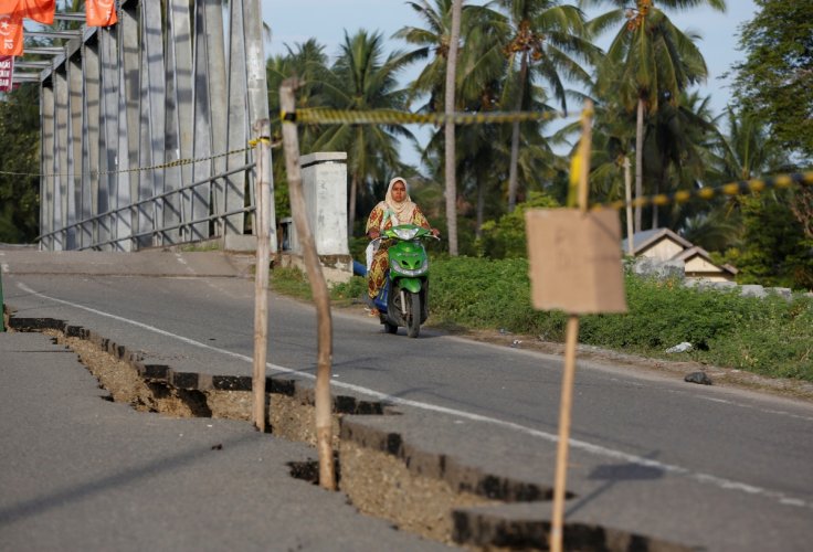
An earthquake measuring magnitude 6.4 jolted Indonesia's West Sumatra province on Monday. The authorities have ruled out the possibility of a tsunami. The quake hit West Sumatra near Pariaman at 10.29 local time.
According to the United States Geological Survey (USGS), the quake was at a depth of 11.9 km (7.39 miles).

The epicentre of the earthquake was at 116 km northwest of Kepulauan Mentawai (Mentawai islands) district and the shallow of 10 km under the seabed, Xinhua news agency said.
The 6.4-magnitude quake is classified as the main shock, as another 5.9-magnitude quake struck at 5.34 a.m.
The coast of Sumatra had witnessed a quake of magnitude 6.0 last week, sending people fleeing their homes but with no casualties or damage reported. The shallow quake occurred in the waters off the southwestern coast of Sumatra island, Jakarta Post had reported.
Pacific Ring of Fire
Straddling the so-called Pacific Ring of Fire, Indonesia is regularly hit by earthquakes.
In 2018, a devastating 6.2-magnitude quake and subsequent tsunami struck the city of Palu, in Sulawesi, killing thousands.
A 9.1 magnitude quake off the north of Indonesia's Sumatra island on Boxing Day 2004 triggered a tsunami that swept over coastal areas of Indonesia, Sri Lanka, India, Thailand and nine other countries, killing more than 230,000 people.
In January last year, at least 35 people were killed after a 6.2-magnitude earthquake struck Indonesia's Sulawesi island.


