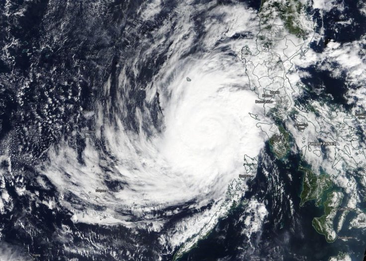
In a rare weather event, a pair of tropical cyclones predicted to transform into hurricanes early next week are making their way to the US Gulf Coast and are expected to spin over the warm waters of the Gulf simultaneously. This could lead to severe disruption when they finally make landfall.
According to the National Hurricane Center, the US Gulf of Mexico has never seen two hurricanes at the same time. The closest that such an event has ever come close to occurring was in 1933 when a massive hurricane made landfall in southern Texas while another hurricane waned into a tropical storm after traversing across the Florida Peninsula.
Uncertainty Around Both Systems

The last time two cyclones were in the US Gulf of Mexico was in 2002, when Tropical Storm Fay and Tropical Depression Edouard overlapped for about 18 hours, according to the NHC. Tropical Storm Laura and a separate tropical depression brewing near Honduras could approach the Gulf Coast as hurricanes next week in an area spanning Texas to the Florida Panhandle, according to the National Hurricane Center.
Meteorologists say there is still a lot of uncertainty around the systems and how they develop and move in coming days, particularly as they cross land. Both storms currently look on track to remain separate, however, any interaction between the two could change their intensity or trajectory, said Dan Kottlowski of AccuWeather. It is unlikely they would combine, he added.
"More than likely one will become stronger, and inflict more vertical wind shear causing the other to weaken," Kottlowski. "But if they stay of equal strengthen, then they will probably prevent each other from getting really strong."
In some cases when storms interact, they can orbit each other and the speed of one cyclone could accelerate the other, part of something known as the "Fujiwhara effect," said David Streit of Commodity Weather Group.
Landfall Expected on Wednesday
Tropical Storm Laura, which is currently east of the Antilles, was upgraded from depression on Friday and has sustained winds of 45 miles per hour (72 kph), according to the NHC. Laura is forecast to make landfall as a hurricane on Wednesday. Tropical Depression 14, which would be named Marco if it strengthens, is on track to make landfall on Tuesday near the Texas and Louisiana border.
It would arrive around the three-year anniversary of Hurricane Harvey, which dumped a record 50 inches (127 cm) of rain on parts of Houston in August 2017 and caused billions of dollars in damage. "My concern is that this doubles the number of people that have to deal with it and the potential damage it might cause," said AccuWeather's Kottlowski. He added that Tropical Depression 14 is likely to become the stronger storm as it is slated to pass over a relatively flat area of the Yucatan Peninsula before entering the warm waters of the Gulf of Mexico, where it can gain strength.
"Tropical Depression 14 doesn't look robust right now, but it looks to be in an environment conducive to strengthening," said Phil Klotzbach, a research scientist at Colorado State University.
On Friday afternoon, the NHC said Tropical Depression 14 could be near hurricane strength as it approaches the Yucatan Peninsula on Saturday. Major oil producers BP and Shell on Friday said they were taking steps to prepare for the storm. BP said it was evacuating offshore personnel and shutting in production, while Shell said it had begun to evacuate non-essential personnel.
(With inputs from agencies)


