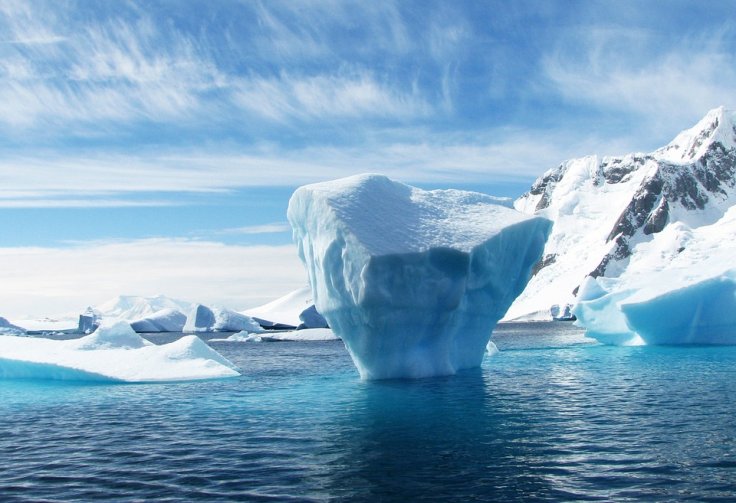
A lot of people believe that Antarctica is a static mass of ice. However, scientists are aware of its dynamic and erratic hidden underbelly.
A new study that was based on 34 million years of data suggests that we must pay attention to these dynamic events since subglacial water flows could influence how we perceive future sea-level fluctuations.
Anna-Mireilla Hayden, a PhD candidate from the University of Waterloo, and first author of the study, published in the journal Nature Communications, said, "Many studies say the past is an analogue of what might happen in the future." She noted that ignoring the invisible waterways under the ice could lead to big surprises.
Global sea levels to rise by 13 feet?
In order to comprehend how these hidden river systems change over time, Hayden collaborated with Dr. Tyler Pelle of the Scripps Institute of Oceanography in the United States and other specialists.
There is more to Antarctica than a single block of ice. Water moves through tunnels located far below the ice sheet's frozen surface. Scientists have rarely included the force of the subglacial water's movement in the standard models of sea level change.
The researchers concentrated on the Aurora Subglacial Basin, which could raise global sea levels by roughly 13 feet (4 meters) if it melted completely.
Warm ocean temperatures have the ability to melt floating ice shelves from below, as scientists already understood. Recent research, however, suggests that water flow near the ice's base gives the narrative an additional level of complexity.
Hayden said, "It's important that scientists who model ice sheets account for hydrology because it could reduce uncertainty in estimates of sea-level rise."
The team observed that subsurface rivers have moved around a lot, which has affected where and how the ice might shatter or shrink.
Because these subglacial networks have the ability to direct fresh water into the sea at vulnerable locations, their form and trajectory are important. Local ice thinning can be accelerated and normal ocean patterns upset when cold, fresh water spills out at specific locations beneath ice shelves.
In their simulations, climate specialists have frequently concentrated on air temperatures or large-scale currents. Now, a secret factor that may cast doubt on current sea-level rise projections is fresh water cycling beneath the ice.
Danger of floods
Dr. Christine Dow, a professor at the University of Waterloo, said, "It's critical that projections of sea-level rise include as much relevant information as possible so that the world can take appropriate measures to lessen the devastation to global coastal communities."
These results highlight how delicate the balance is underneath Antarctica's icy surface, Dr. Dow noted. Changes beneath the glaciers can make them more likely to break off more quickly, but her team does not anticipate the ice sheet to give way overnight.
The scientific community views this as a reminder that even minor environmental changes can have significant effects, as coastal regions worldwide are already experiencing erosion and increased dangers of floods.
Experts advise that these long-buried canals be considered in any future sea level forecasting efforts. Critical components of how glaciers might change as temperatures rise may be absent from models that ignore the subglacial picture.
According to the experts, more research is required to monitor any potential acceleration or direction changes in the flow beneath the ice during the next decades. Gaining knowledge about these rivers could improve coastal planning methods both locally and internationally.
The study demonstrated that sea level-influencing subglacial drainage systems have never remained in a single configuration for an extended period of time. The paths and amounts of meltwater flowing beneath the ice changed throughout millions of years in tandem with the environment.
Long underground rivers transported large amounts of water beneath dense ice 34 million years ago during a time known as the Eocene-Oligocene Boundary.
Interestingly, despite being generated from opposing climate extremes, the expected drainage patterns for 2100 under extreme warming substantially reflect those ancient conditions.


