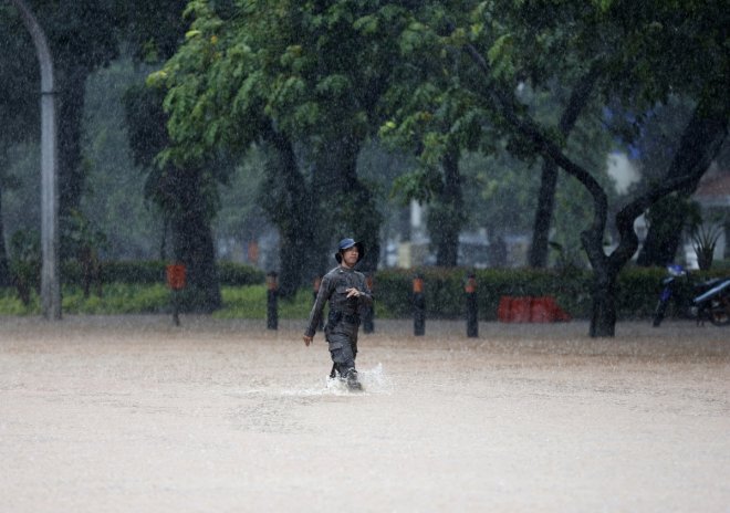
The Philippines braces itself for what could be "the most damaging" storm this year, reported Channel News Asia. Officials said typhoon Sarika is all set to hit archipelago's heavily-populated main island early next week.
According to the news agency, Sarika is gathering strength while spinning over the western Pacific ocean and the gust speed is forecasted to go up to 180 kilometres (112 miles) per hour. The civil defence office said the storm has already knocked out telephone lines and power lines on the eastern island of Catanduanes.
The government weather forecaster Benison Estareja was reported saying that while this storm is not the most powerful one to hit the country in 2016, but it could be the most devastating one as it is expected to cross heavily-populated areas just north of Manila.
"We can see from the radar that the storm is very destructive. It can destroy wooden houses, it can topple trees. It can possibly rip off roofs," he told AFP.
"This could so far, be the most damaging typhoon this year," he added.
Estareja also forecasted that Sarika will hit the province of Aurora on the east coast of the main island of Luzon before Sunday dawn and will pummel the central Luzon before heading out to sea by the evening.
Torrential rain and strong winds are likely to lash the areas and storm surges of up to two metres (more than six feet) are expected, said the forecaster.
Estareja also warned the residents of low-lying areas of heavy flooding and residents of mountainous areas of possible landslides.
"This one will have an impact because most of the people are in (that part of) Luzon. Even Metropolitan Manila will be affected," he said as reported by Channel News Asia.
The Philippine islands are not new to strong typhoons that generate over the Pacific Ocean and it normally the first major landmass to get battered by storms. In 2013, typhoon Haiyan, the strongest storm to hit land till date, lashed Phillipines and left more than 7,000 people dead or missing.


